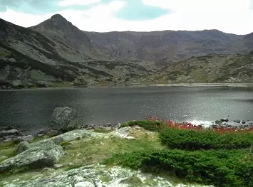
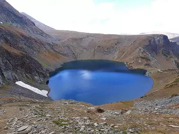
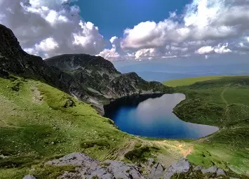
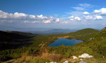
Rila Mountain is the highest mountain range of Bulgaria and the Balkan Peninsula. The name of the mountain has Thracian origins: Duonaks(Dunka), Roula, which means water mountain. The highest peak of the mountain is Musala at an altitude of 2, 925 m. The mountain spans on a territory of 2, 629 m with an average altitude of 1487 m. About 50% of the territory of the mountain forms a zone with the high altitude over 1, 600 m. Rila Mountain has over 100 main peaks with an altitude above 2, 000 m. In 1999 about 30% of the territory of the mountain is declared as National Park "Rila". The "Rila" National Park is the largest national Park in Bulgaria and span on a territory of 81 046 hectares.
Rila Mountain is the sixth highest mountain range in Europe. The mountain is situated between five valleys – Dupnitsa Valley to the north-west, Samokov Valley to the north, Konstenets-Dolna Banya Valley to the north-east, Razlog Valley to the south and Blagoevgrad Valley to the south-west. Five saddles link Rila to the surrounding mountain ranges – Klisura Saddle (1,025 m) with Verila to the north-west, Borovets Saddle (1,305 m) with Sredna Gora to the north, Yundola (1,375 m) and Avramova Saddles (1,295 m) with the Rhodope Mountains to the south-east and Predel Saddle (1,140 m) with Pirin to the south.


